
MesoWest
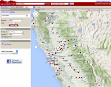
MesoWest is an ongoing cooperative project initiated in 1996 between researchers at the University of Utah, forecasters at the Salt Lake City National Weather Service Office, the NWS Western Region Headquarters, and personnel of participating agencies, universities, and commercial firms. Support for this project is being provided by the National Weather Service. MesoWest was created to provide access to current and archived weather observations across the United States. It is used by the National Weather Service to aid in forecasting, by researchers to understand severe weather events, and by the public for personal and other uses. MesoWest relies upon weather observing networks that are managed by government agencies, private firms, and educational institutions. Observations of temperature, relative humidity, wind speed, wind direction, precipitation, and other weather parameters are provided and available through the MesoWest interface. MesoWest provides different map overlays that can be placed over a Google Maps interface which include: NEXRAD Radar, accumulated precipitation grids, temperature contours, dewpoint contours, wind speed contours, National Weather Service Watch and Warning products, active fire perimeters, hot spots, and smoke plumes.