Log In or Create Account
You may also download a zip archive of the entire dataset (25 mb), or find the data in Data Basin here: https://databasin.org/datasets/f12a901528c0498ba63ca291b8e6627b.
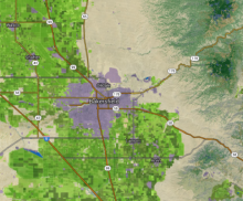
This map coverage augments the 2002 Multi-Source Land Cover dataset produced by the California Department of Forestry and Fire Protection to include categories for agricultural land cover types as well as urban boundaries complete to 2008. The agricultural information is derived from the Department of Water Resources land cover mapping as well crop information from pesticide use reports produced by the Department of Pesticide Regulation. The agricultural land cover classes use a subset of the DWR land cover classes, and the other land cover classes use the California Wildlife Habitat Relationships classification. Urban land use changes since the 2002 map were identified by combining the urban boundaries indicated in the Department of Conservation Farmland Mapping Program and urban land use types in the 2001 National Land Cover Dataset.
For further information about compilation methods see http://groundwaternitrate.ucdavis.edu/files/139110.pdf, pages 86-91.