Log In or Create Account
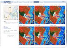
A web browser-based application that provides tools for improved understanding of results from research projects that employ the Sea Level Affecting Marshes Model (SLAMM).
SLAMM-View presently provides access to the digital geospatial data results from SLAMM simulations run for three regional Projects, and seven site-specific Projects (see list on their website) as well as 68 additional site-specific Projects from simulations run for National Wildlife Refuges (NWR).